IHS Press
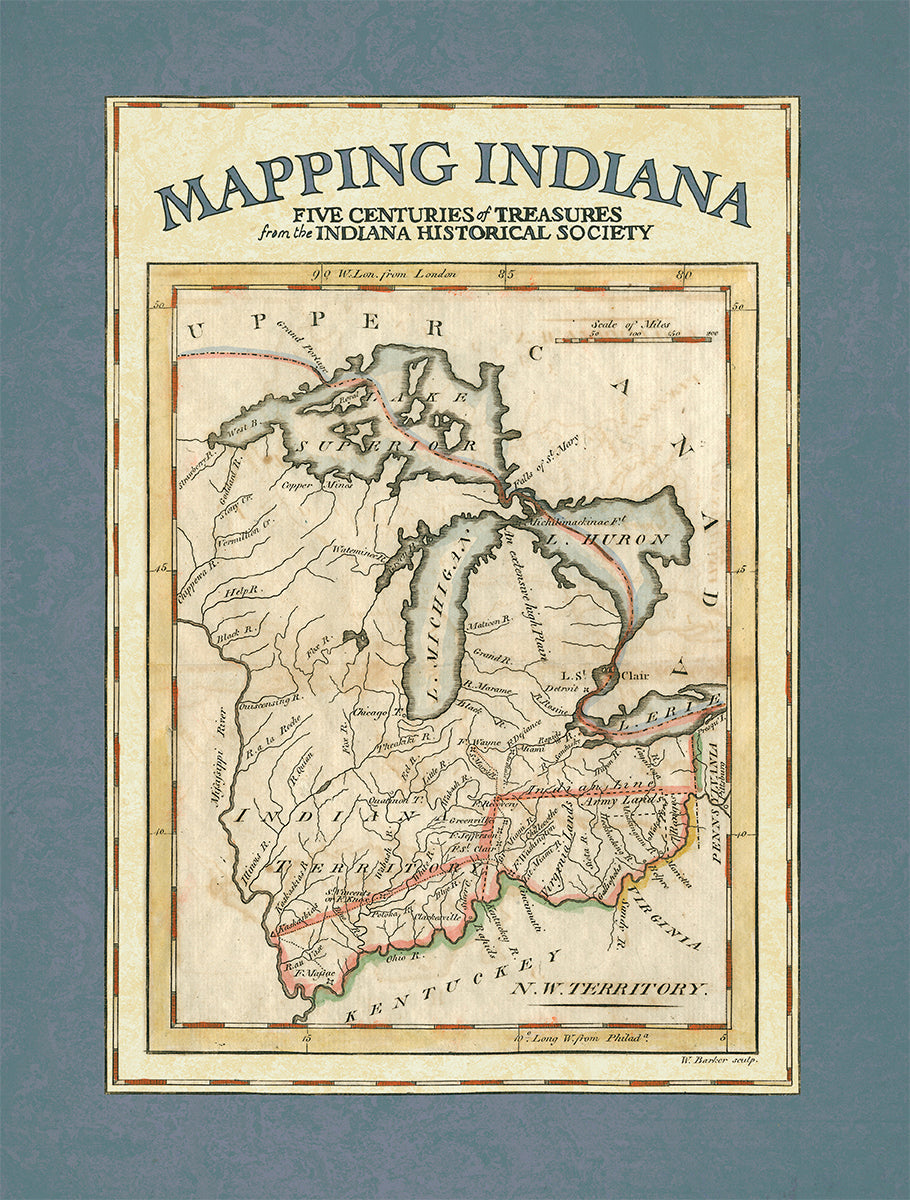
Mapping Indiana: Five Centuries of Treasures from the Indiana Historical Society
Couldn't load pickup availability
Although it is not known exactly when the first map found its way into the collection of the Indiana Historical Society, its acquisition could have taken place as early as 1830, the year of the organization's founding, Over the last 179 years the IHS has continued to add cartographic gems to its collection.
The scope of the maps maintained by the Society ranges from several Old World views of North America to more contemporary views of Indiana counties and towns. While the focus of the map collection is broad geographically, its core subject is Indiana and the documentation of the state’s evolving history.
Hardcover. 322 pages, 2015. Indiana Historical Society Press. Map Essays by Eric Mundell, Amy Belcher, and Erin Kirchhoff.
Introductory Essays by Donald Cresswell and Nicole Etcheson
Share


